Difference between revisions of "NASA Disasters Portal"
Jump to navigation
Jump to search
| Line 10: | Line 10: | ||
** Provided: Fire detections as pixel rectangles as KML file and Image of the pixels on Google Earth. | ** Provided: Fire detections as pixel rectangles as KML file and Image of the pixels on Google Earth. | ||
** Products: [https://maps.disasters.nasa.gov/arcgis/home/item.html?id=6058f83a646f4cc5b97fba5db0f7eae5 Thumbnail Image]. | ** Products: [https://maps.disasters.nasa.gov/arcgis/home/item.html?id=6058f83a646f4cc5b97fba5db0f7eae5 Thumbnail Image]. | ||
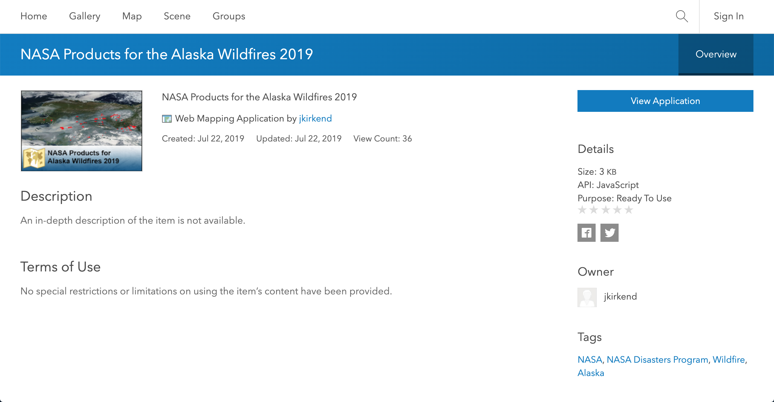
| + | |||
| + | [[File:Alaska.png|500px|center]] | ||
* '''Pioneer Fire:''' | * '''Pioneer Fire:''' | ||
Revision as of 22:46, 30 June 2020
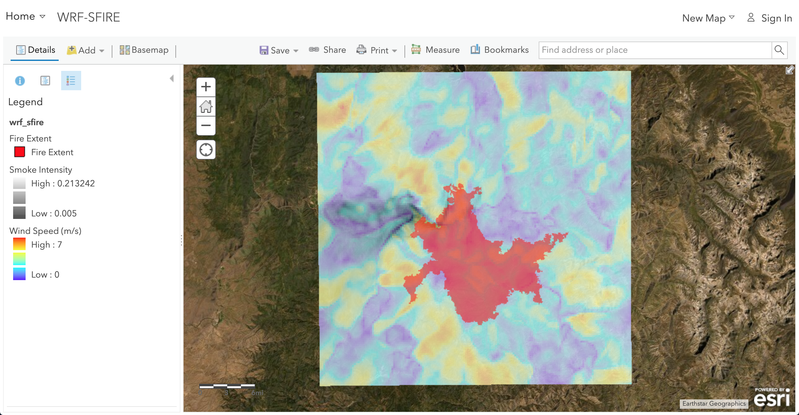
GIS outputs of WRF-SFIRE and WRFx system products provided to NASA Disasters Portal which is an Esri GIS server.
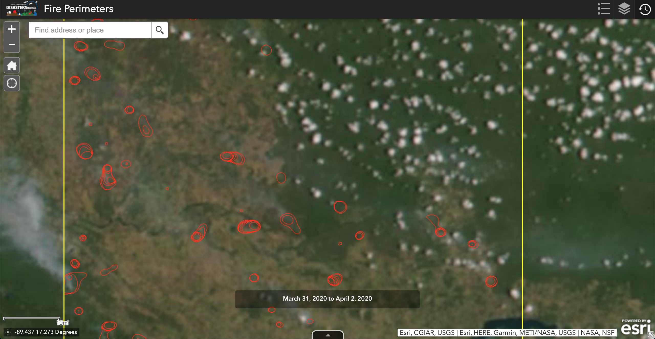
- Guatemala Fires:

- Alaska Fires:
- Provided: Fire detections as pixel rectangles as KML file and Image of the pixels on Google Earth.
- Products: Thumbnail Image.

- Pioneer Fire:

- Paraguay Fires:
- Provided: Fire detections as pixel rectangles as KML file and SVM perimeters as KML file.