NASA Disasters Portal
Jump to navigation
Jump to search
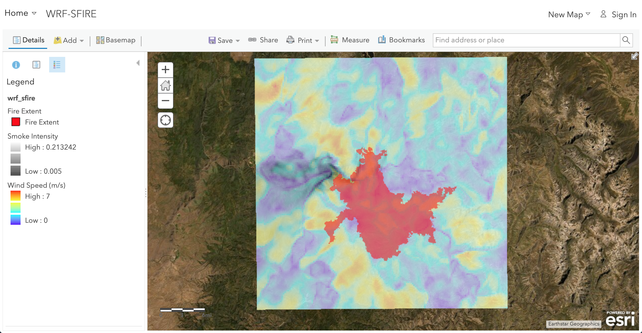
GIS outputs of WRF-SFIRE and WRFx system products provided to NASA Disasters Portal which is an Esri GIS server.
- Guatemala Fires:

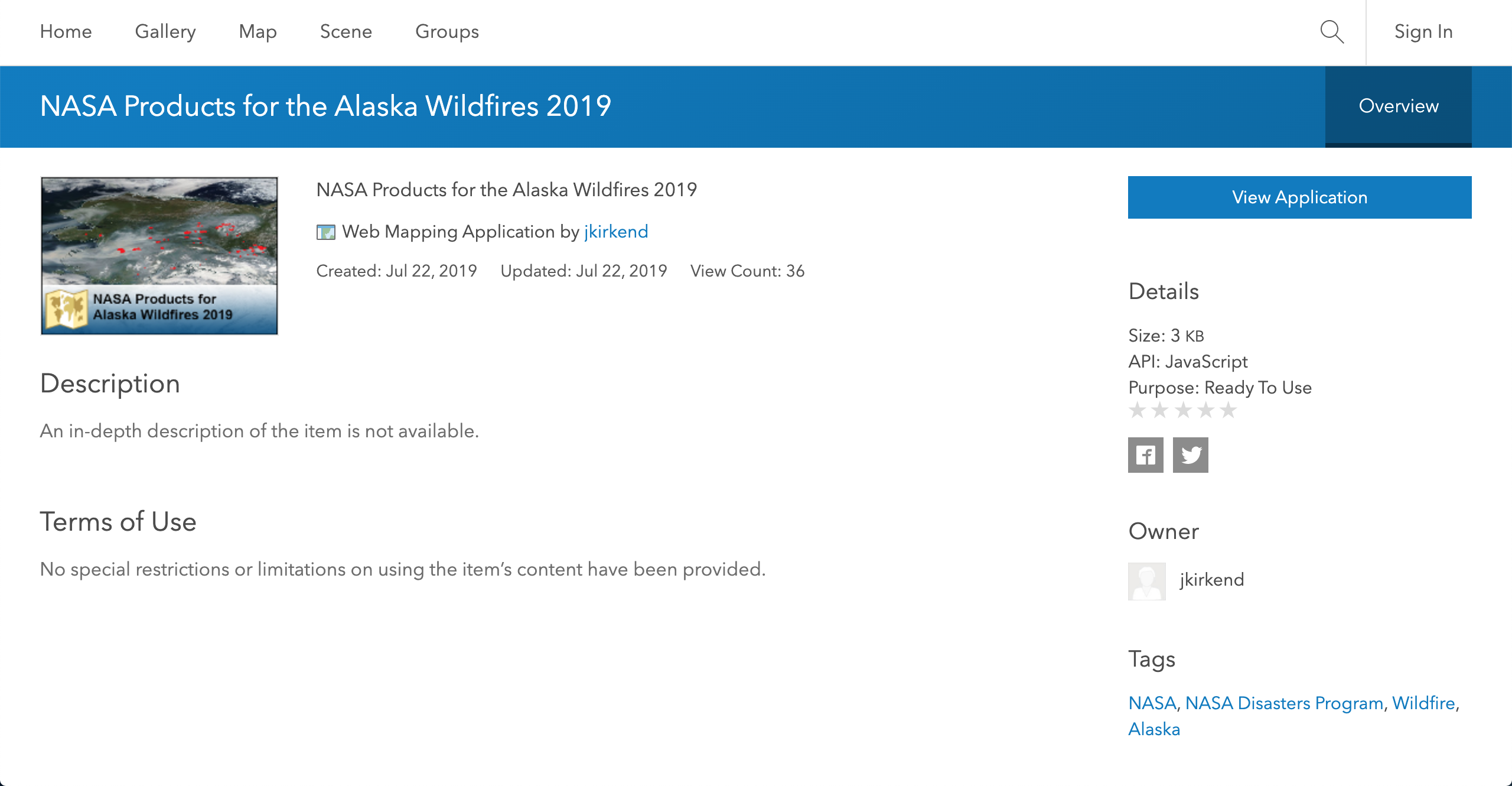
- Alaska Fires:
- Provided: Fire detections as pixel rectangles as KML file and Image of the pixels on Google Earth.
- Products: Thumbnail Image.

- Pioneer Fire:

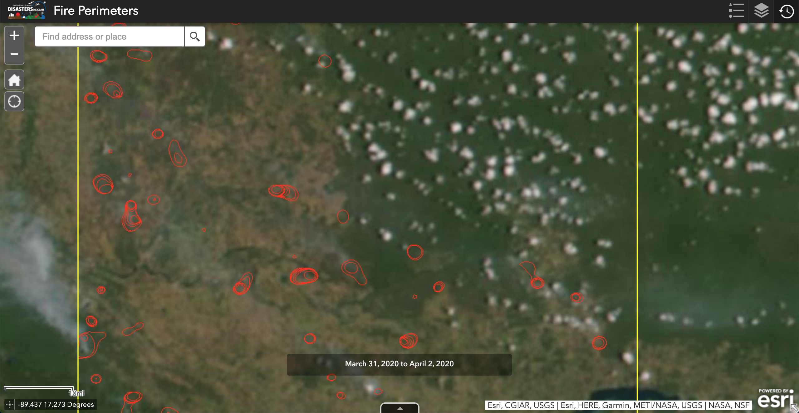
- Paraguay Fires:
- Provided: Fire detections as pixel rectangles as KML file and SVM perimeters as KML file.
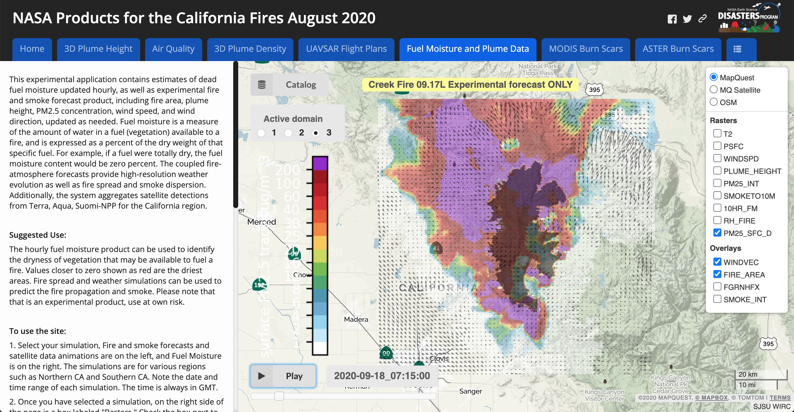
- California Fires 2020:
- Provided: HTTPS of wrfxweb webpage with only California Fires 2020 products.
- Products: HTTPS successfully integrated into the NASA Disasters Portal.
